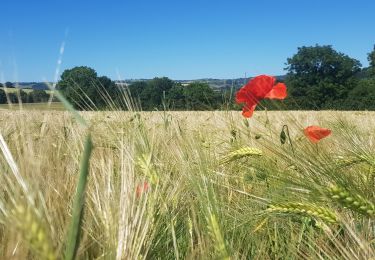
28 km | 35 km-effort
Geocaching Série caches Curcy #
albers
Benutzer
Länge
15,3 km
Maximale Höhe
213 m
Positive Höhendifferenz
303 m
Km-Effort
19,4 km
Min. Höhe
23 m
Negative Höhendifferenz
297 m
Boucle
Ja
Erstellungsdatum :
2018-04-17 18:34:06.817
Letzte Änderung :
2018-04-17 18:34:06.817
30m
Schwierigkeit : Einfach
Kostenlosegpshiking-Anwendung
Über SityTrail
Tour Andere Aktivitäten von 15,3 km verfügbar auf Normandie, Calvados, Le Hom. Diese Tour wird von albers vorgeschlagen.
Beschreibung
Geocaching
série de 23 caches la bonus
POIs
Ort
Land:
France
Region :
Normandie
Abteilung/Provinz :
Calvados
Kommune :
Le Hom
Standort:
Curcy-sur-Orne
Gehen Sie:(Dec)
Gehen Sie:(UTM)
684125 ; 5432123 (30U) N.
Kommentare
Touren in der Umgebung
curcy trois monts
Mountainbike
Medium
(1)
Montillières-sur-Orne,
Normandie,
Calvados,
France
1h 59min
Ja
La Vallée de l'Orne
Zu Fuß
Medium
Le Hom,
Normandie,
Calvados,
France
17,1 km | 23 km-effort
5h 10min
Ja
D'Espins au Moulin du traspy
Zu Fuß
Einfach
Espins,
Normandie,
Calvados,
France
6,9 km | 9 km-effort
2h 3min
Ja
le pont Hom (boucle)
Wandern
Medium
(1)
Le Hom,
Normandie,
Calvados,
France
12,1 km | 16 km-effort
2h 45min
Ja
ouffi
Wandern
Schwierig
(1)
Ouffières,
Normandie,
Calvados,
France
10 km | 12,7 km-effort
2h 34min
Ja
Voie verte suisse normande
Rennrad
Einfach
Montillières-sur-Orne,
Normandie,
Calvados,
France
47 km | 53 km-effort
4h 14min
Ja
Moulin de Pray et Pont de Brie
Zu Fuß
Einfach
Grimbosq,
Normandie,
Calvados,
France
4,3 km | 4,9 km-effort
1h 6min
Nein
De Placy à la Motte
Zu Fuß
Einfach
Cesny-les-Sources,
Normandie,
Calvados,
France
7,1 km | 8,4 km-effort
1h 54min
Ja
vtt thury circuit 5
Mountainbike
Schwierig
Le Hom,
Normandie,
Calvados,
France
30 km | 39 km-effort
3h 3min
Ja